Leaderboard
-

ahosey01
IPS MEMBER36Points2,039Posts -

happypalms
IPS MEMBER23Points12,947Posts -

Xenon
IPS MEMBER22Points4,324Posts -

.thumb.jpg.304b32ca4398a111edf4ac525048111e.jpg)
MarcusH
IPS MEMBER20Points1,570Posts
Popular Content
Showing content with the highest reputation on 01/21/2025 in all areas
-
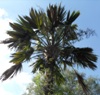
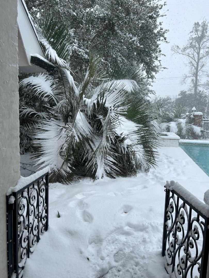
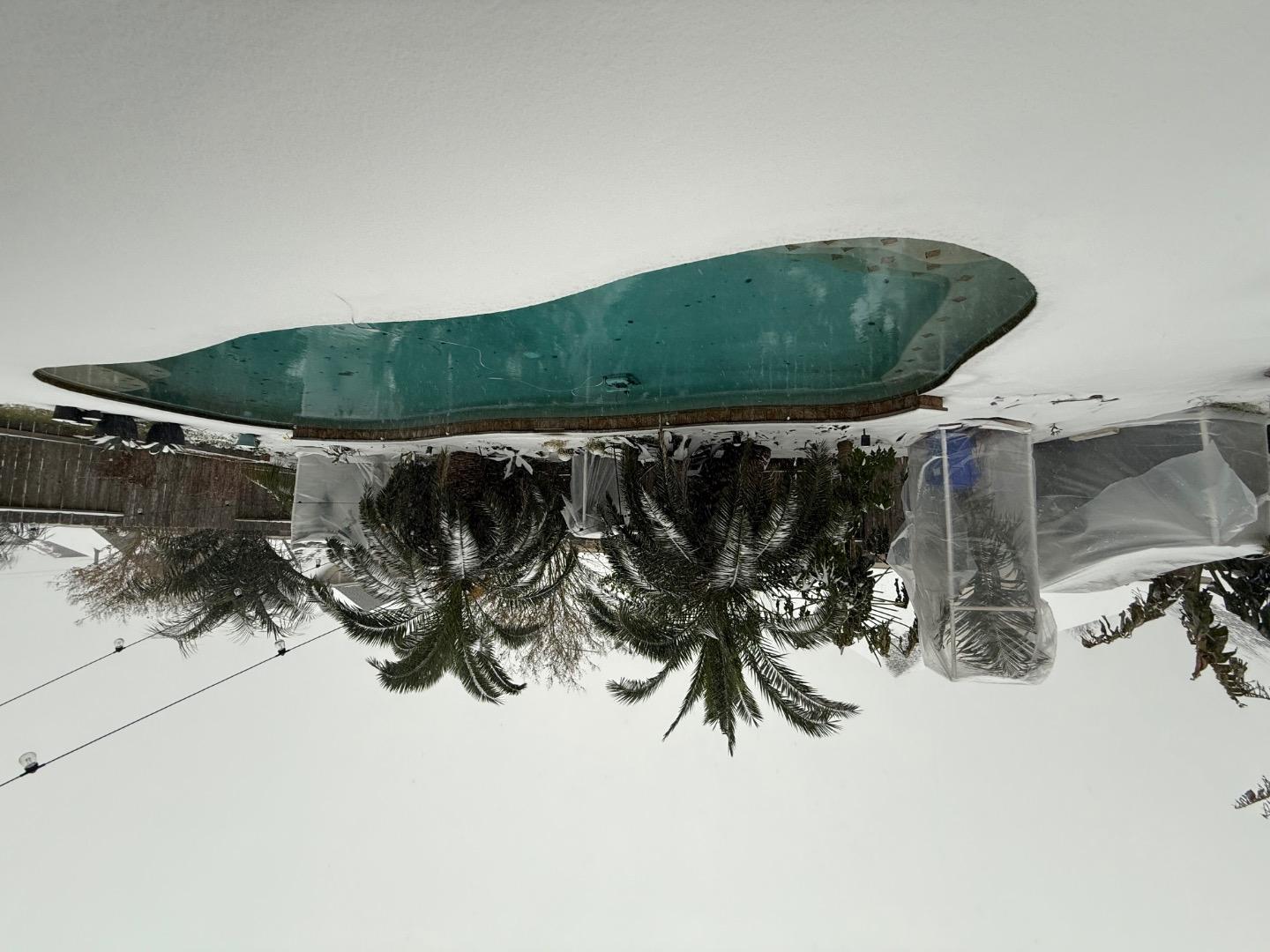
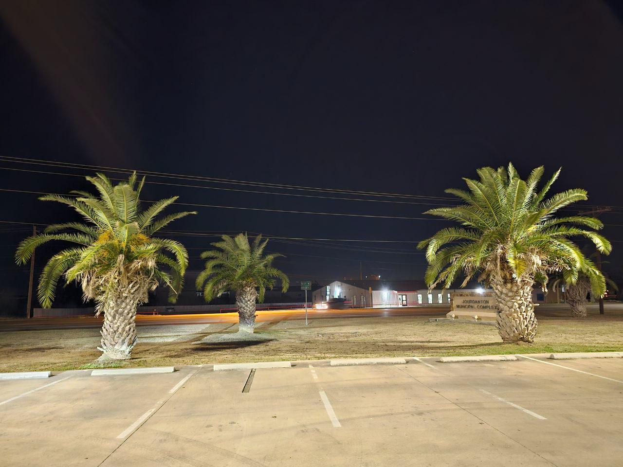
 I thought I was planted for my zone……

 8 points
 -
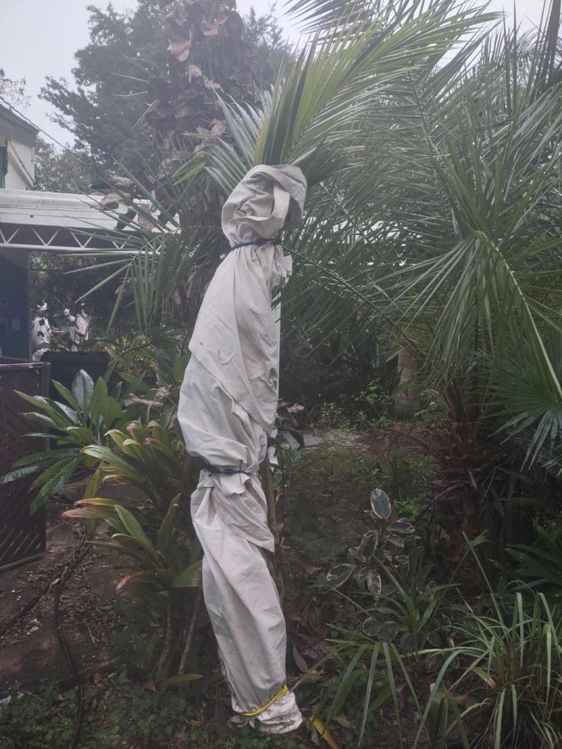
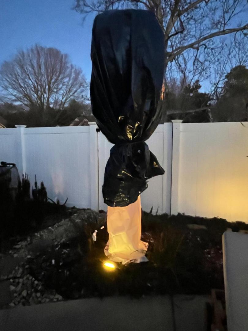
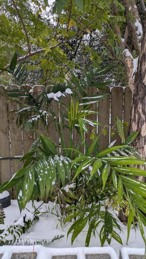
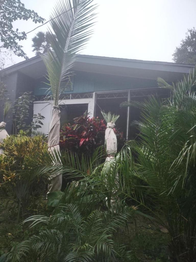
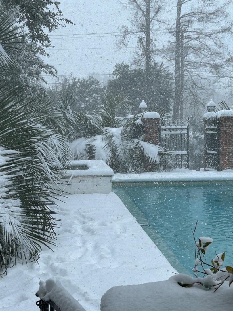
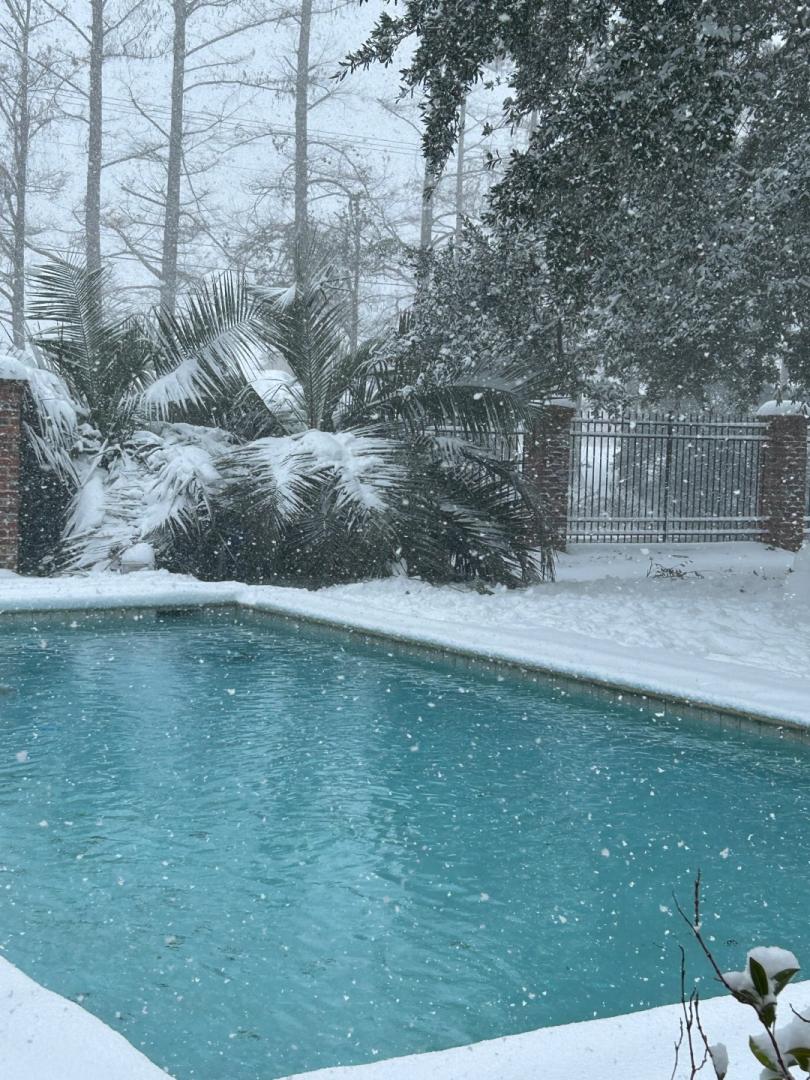
 8 pointsThe coconut tree is soaking up weather in the mid 40s inside its enclosure during a Houston snowstorm. Took a night in the upper 20s this year before I put up the greenhouse around it with only the lower half covered with no heat. No leaf burn! That really surprised me. But man this tree really is tough as nails. The enclosure I made is a 1.5” pvc frame that fits perfectly over t posts. Man it is solid, doesn’t even blow in the wind. I tried making the frame all together and it was such a disaster that I almost gave up. Ended up putting it up in sections and glued all the connections except the cross brace pieces(will store much easier). Put in a 40 gallon trash can full of water and a 600 watt aquarium heater keeping the water at 93 degrees. With this and an no lid, it kept it 15-18 degrees above the outside temp. But it caused a lot of condensation that I was worried would freeze the leaves touching the plastic (6mil greenhouse plastic from Amazon). So I put the lid on the bucket and added a 500 watt external heater. Still holding 15-18 degrees above the outside temperature but with no condensation. Suppose to get into the upper teens to low 20s tonight, but I’m confident it will come out okay!
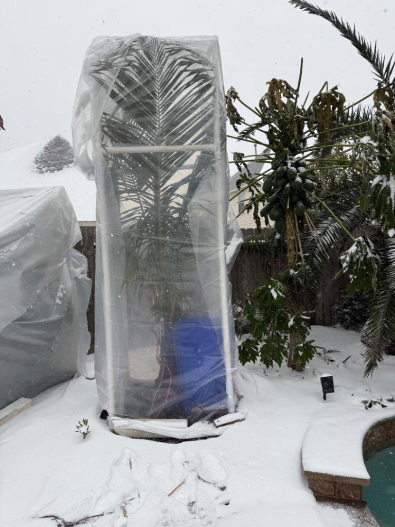
 8 points
 -
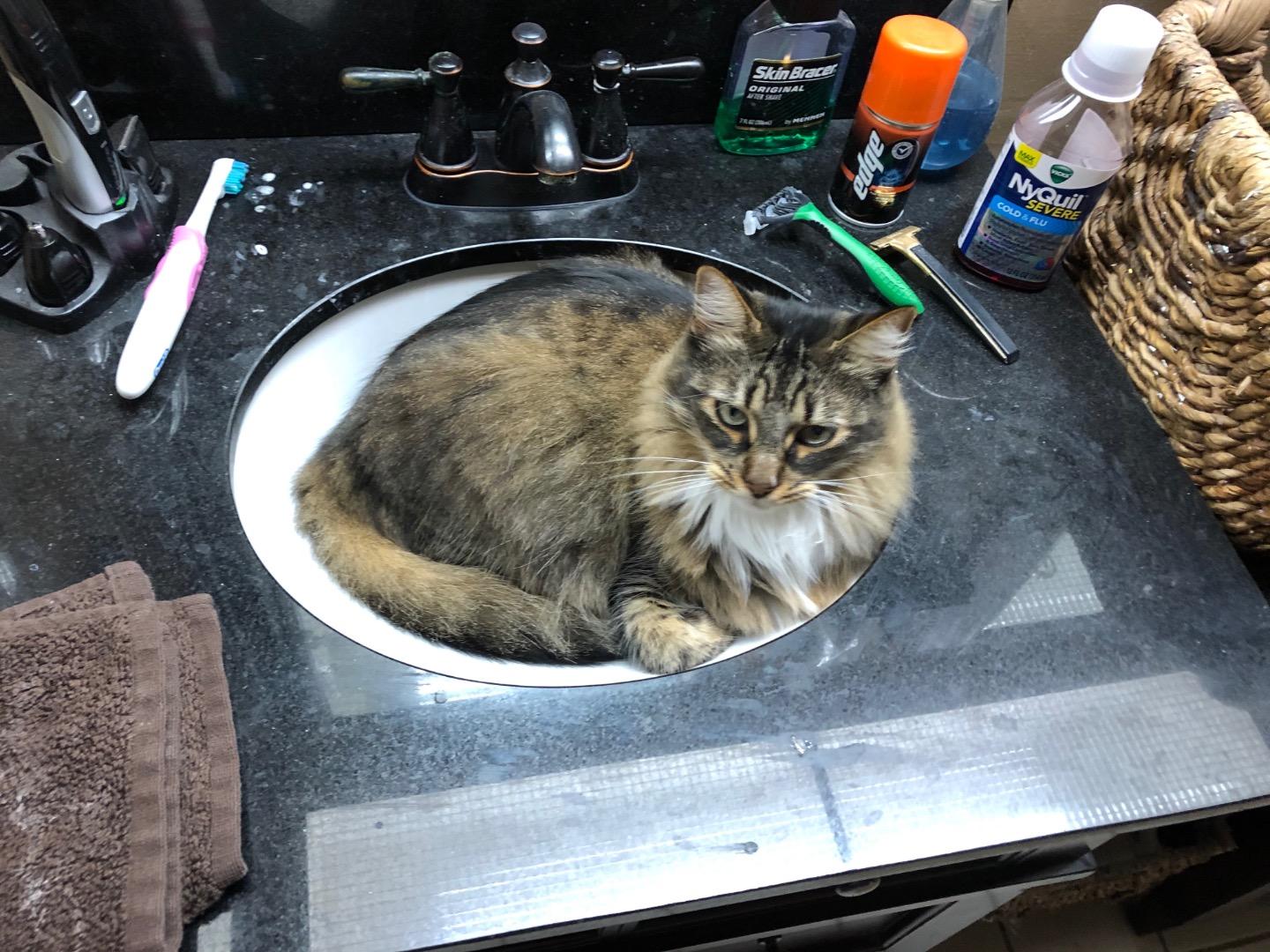
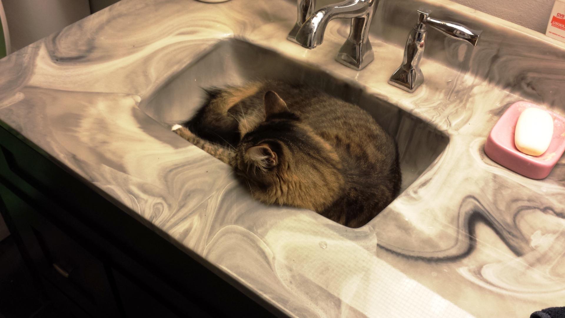
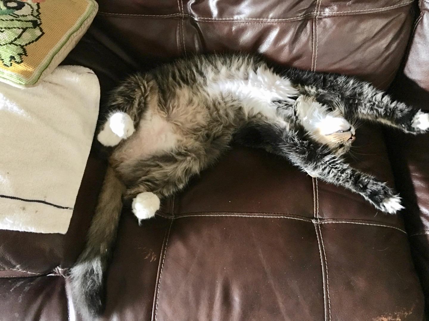
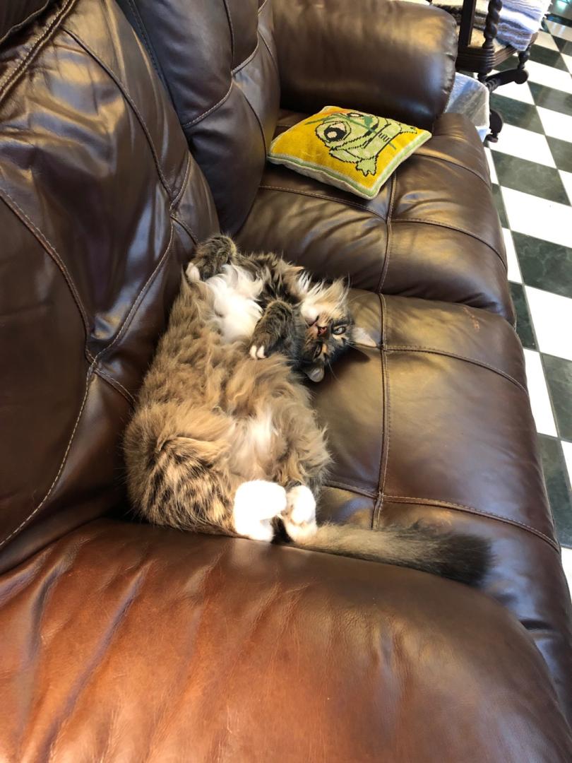
 My Norwegian Forest Cat hates cold, too. Go figure Lizzie says, "Bring back spring."


 7 points
 -
7 points
-
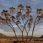 One of my Brahea armata in Lago Vista
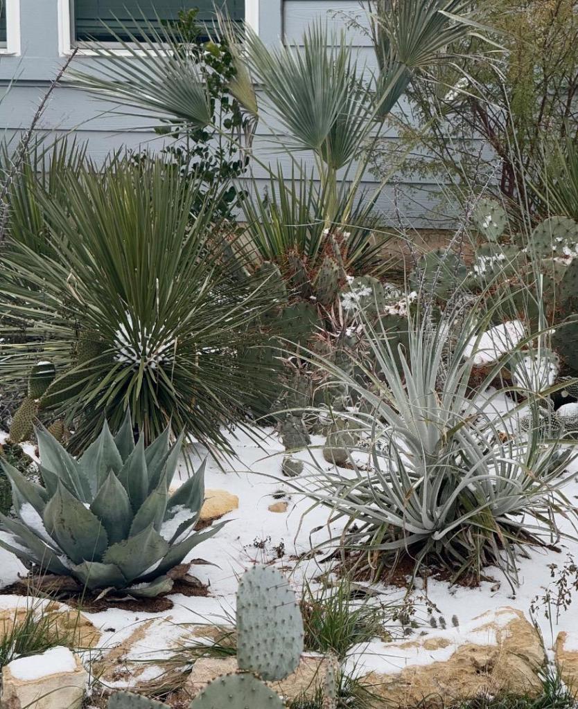 5 points
 -
I prefer to believe that thermometers were shittier and the arctic was colder back then. lol5 points
-
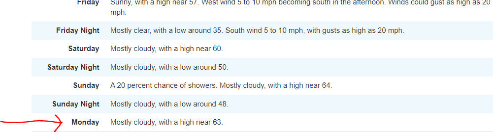
 Man, great pictures, this is quite the story! Woke up this morning to light snow, barely half an inch. Lows were exactly what was predicted the day before (around 28F). The sun came through some of the cloud cover and and, as of now, most of the snow has already melted. I hope, together with a nice warm up, this bodes well for tomorrow morning when it is supposed to get real cold. Forecasts have moderated to 22F for me, however, we have clear skies and (in my repeated experience) models are usually unable to account for that (😒). I would not be surprised if temps may end up in the low teens. I only defoliated a small L Chinensis and did not protect several of the larger palms. Garden looks nice, however, I really need a year where palms can grow so I I have some more evergreen to look at, dangit! If it actually stays in the 20s, and I will reserve some cautious optimism, I might just get that! Good luck to everyone tomorrow!
 5 points
 -
Was thinking today... to all of you getting defeated by the events of the last four years... just keep in mind.... If the 2020s are the new 1980s... all the bad freezes came within about 6 years (83-89). We're most of the way through that much time, and so far nothing as bad as 1983 or 1989 has happened.5 points
-
5 points
-
 5 points
 -
Update at 1:00PM for posterity... we never actually hit 32F. Weather station only ever showed 33F, despite having a very fine sheet of ice on the top of the pole it is attached to. Was watching Weather Underground on and off all morning, and there were only two other stations I saw that never hit 32F - one in Los Fresnos and the other in Laguna Vista. So technically no freeze yet so far this year.4 points
-
 Also in the 1890s : In the Northern Hemisphere, the furthest south, at Sea Level, that has even seen snow accumulation was at Tampico MX in February 1895. That same storm put down 6 to 20 inches of snow along the GoM coast from Texas to Louisiana. -Matt4 points
 -
4 points
-
Scoffing at the cold! I have almost no hope of growing Brahea at my house. Soil is basically as heavy as uranium and it's wet 9 days out of 10. lol4 points
-
 4 points
 -
 No snow here in northern Mexico. Only rain. Min temp was -2⁰C (28F)
 4 points
 -
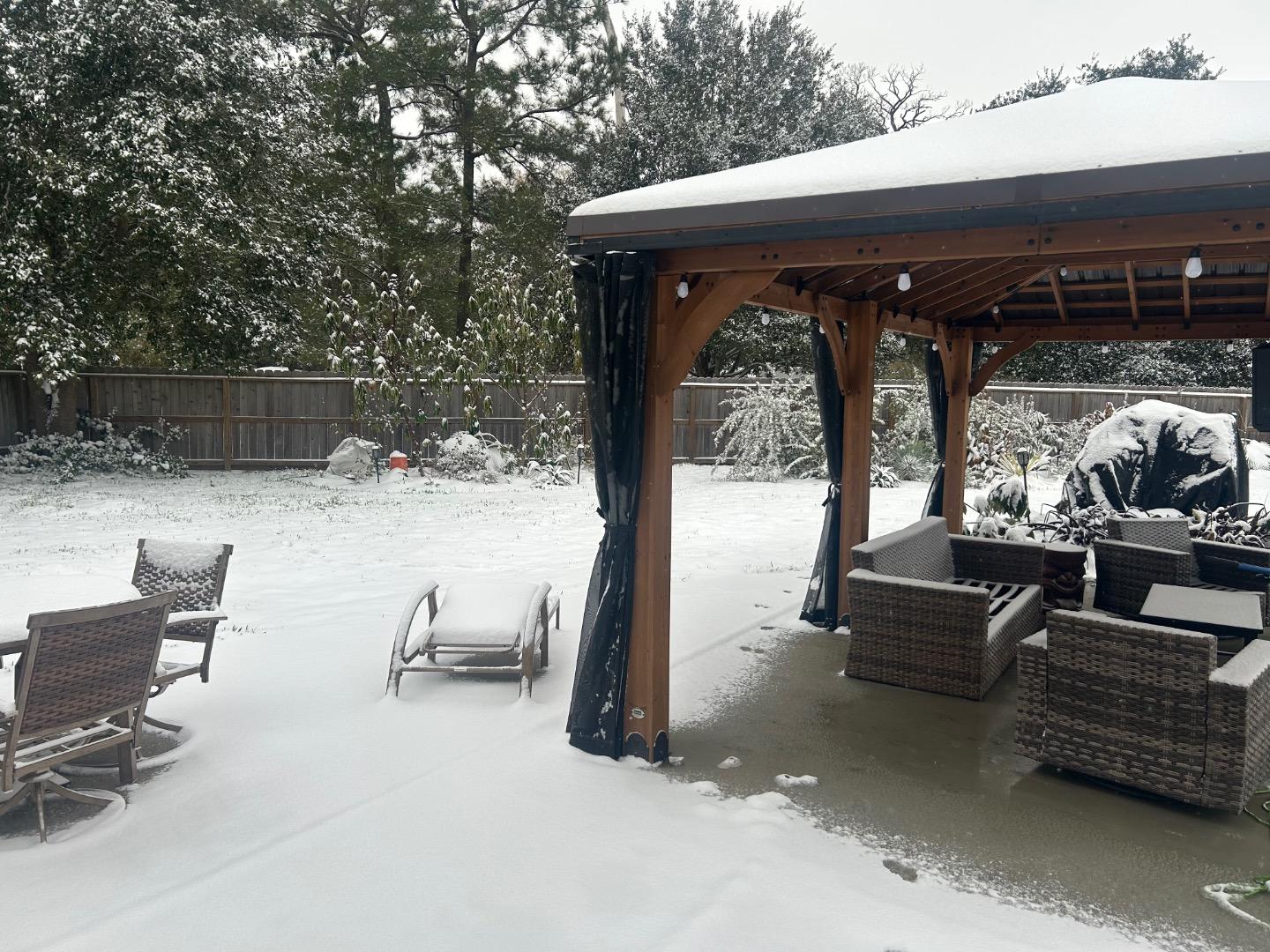
 Looks like I'm also in the 2-3" range.

 4 points
 -
 4 points
 -
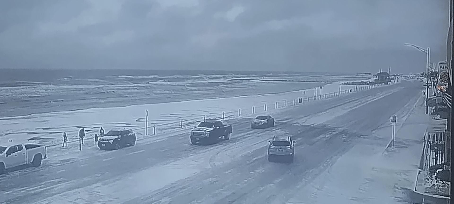
New Orleans is expecting 6-7 inches of snow today. Blizzard conditions along Lake Ponchartrain, looks more like Lake Michigan lol4 points
-
Reminds me something out of the 1980's. New Orleans 2025
 4 points
 -
 I went down to 27F and it’s slowly warming up. I’ve gotten 2.5” so far, I measured the snow on an outdoor table. Palm fronds are all weighed down. It’s heavy wet packing snow. Did I mention I hate this crap??
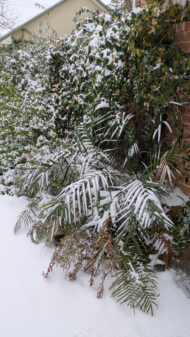
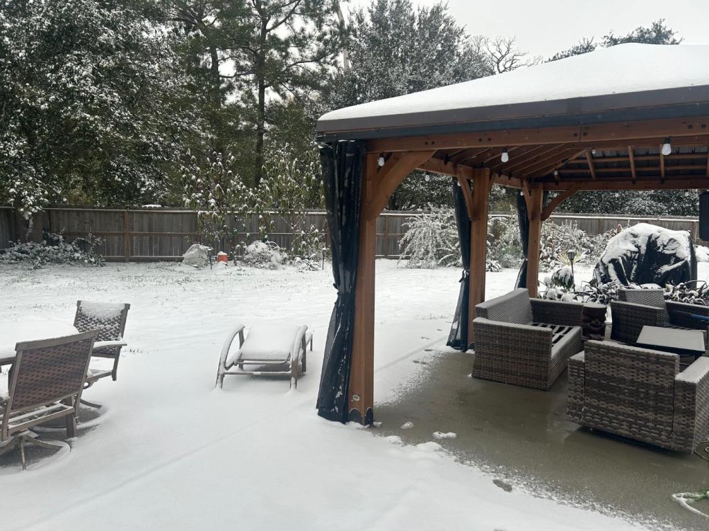 4 points
 -
 4 points
 -
Well west Houston overperformed with the daytime heating today (actual high of 39F vs forecast of 34F). Hopefully enough snow melted to keep it above 20F until sunrise. Fingers crossed 🤞3 points
-
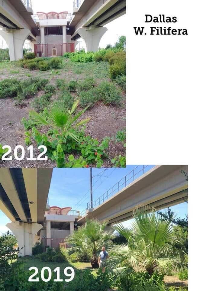
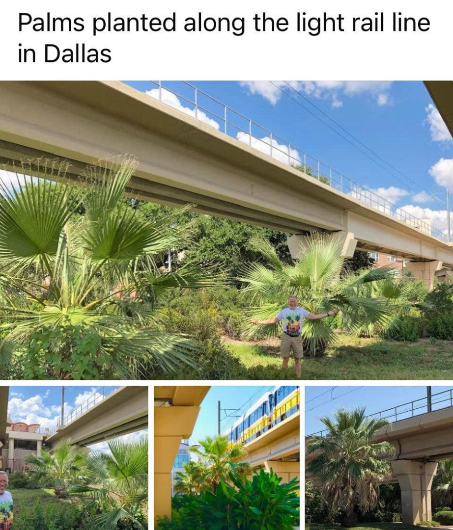
 3 pointsThere are a bunch of them out here.. Tony has many, planted many, and I've started a few here at our place.. but photos of his Washingtonia filifera Most of his are still on the property but he has planted them ALL over DFW.... There are a few in the suburbs as well I have two that are very small still compartively but they are chugging along and don't seem phased by 9.9f last year even at a small size. Ideal palm for DFW!


 3 points
 -
At the sunport. Double Eagle saw 1f. May have been colder as I checked after 7am.
 3 points
 -
 Humm, interesting. Meanwhile in Canada, Vancouver Island. In all fairness we did hit 32°F by sunrise today.
 3 points
 -
It's a joke Marcus, you can't get any lower than 1899. They say it was like a one in thousand year freeze where even the tropics froze and North Florida recorded temps below zero fahrenheit. Can only get warmer from rock bottom 1899 unless we really are headed into the Ice Age 😆3 points
-
Weather forecast for now says around 24°f for San Antonio tomorrow morning. Better than I thought. My area is usually a degree colder. Snow is almost melted and it rapidly warms up .3 points
-
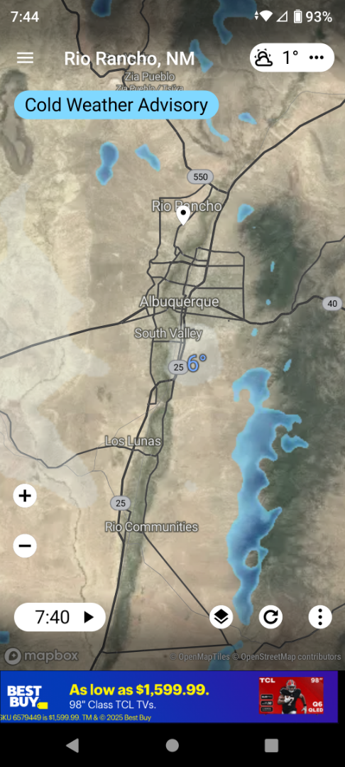
Can we play too? Rio Rancho/ABQ Alamogordo


 3 points
 -
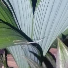
 3 points😀 von Martius, who obviously knew both Greek and Latin very well, gave this name to a variety of S. flexuosa (now considered a species) because of the persistent leaf bases that cover the stem almost as if to protect it like armour.3 points
 -
 3 pointsWhat a funny name for a sp. Originally this term was used to to describe the heavily armored ancient Persian cavalry.3 points
 -
 Glad I mulched as much as I did. 7F right now but 30F under all that mulch. 0F expected tonight3 points
 -
He went to work with me this morning and has thousands of macadamia nuts to eat. 15 kms away should be enough I hope. Humanly released I can’t kill any animals to green now.3 points
-
This is correct I sold my place in Arizona and wound up in Brownsville on accident. Glad I did - I'll die here. Texas is the greatest country in the world. 🤭3 points
-
3 points
-
 3 pointsplanted around 2002 by my Mimi in Kissimmee FL Such a pretty one
 3 points
 -
 Harlingen coconuts ready for a freezing night with 27°F as the forecasted low.
 3 points
 -
 Here is a nice palmy house that is for sale in the north valley.
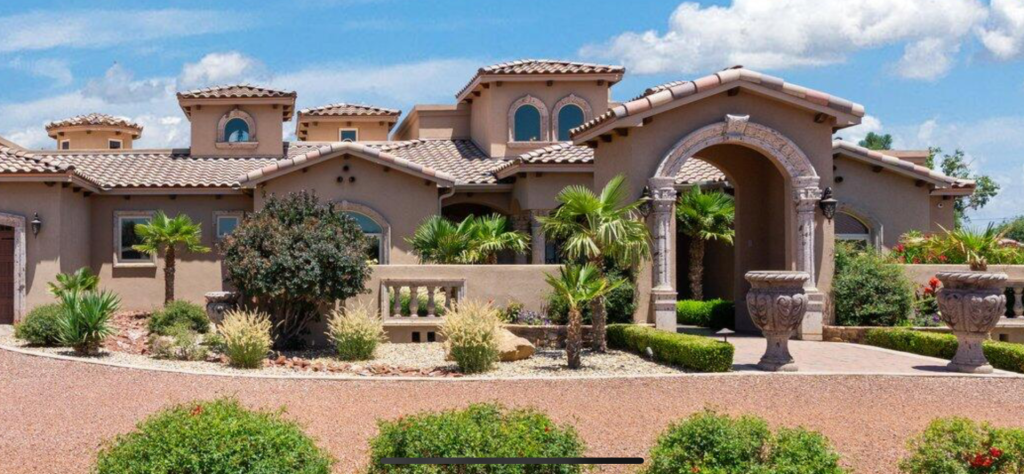 3 points
 -
3 pointsTook the following updated photos today of my two Ravenea rivularis, the larger of which was featured at the beginning of this topic on 01-01-23 where it showed a lot of frond damage from Hurricane Ian but otherwise stood tall against cat 4/5 winds. Both of them now look great, given that we fertilized them last week for the first time in a year. If you are willing to give them the water and fertilizer they require your majesties might beat back major hurricanes too. Ravenea rivularis the larger, April 2024, Cape Coral, FL Ravenea rivularis the smaller, April 2024, Cape Coral, FL

 3 points
 -
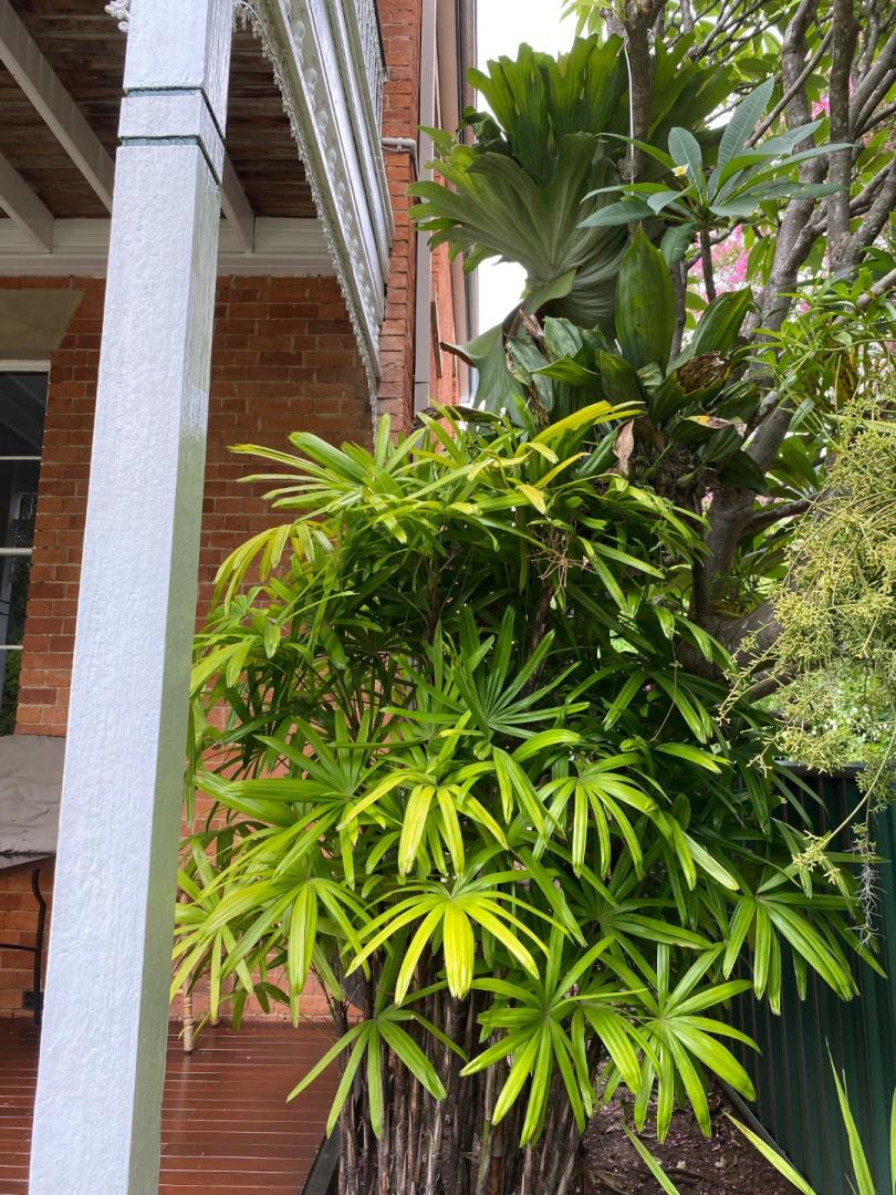
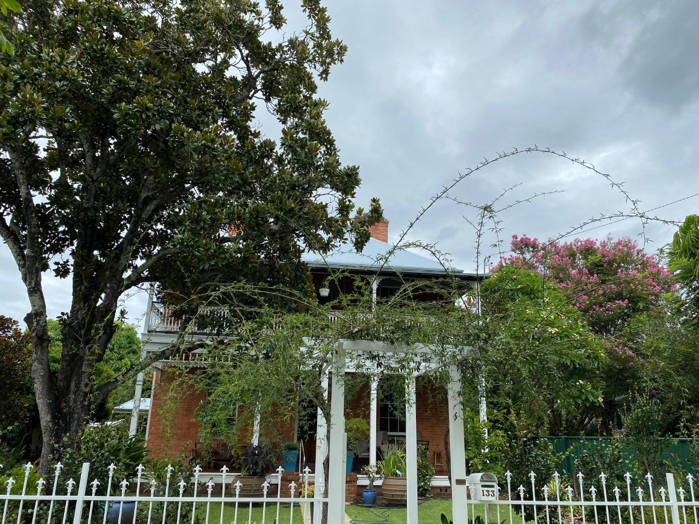
2 pointsMy good friend Phil who lives in town has a knack for gardening in his retirement years. He would purchase old houses and renovate them and put a garden in and sell them after 5 houses he has finally settled down in heritage listed 150 years old house. He has done a fantastic job renovating this house it’s been a pleasure to watch him do so. We get together in each other’s gardens and talk about plants and gardening always sharing our gardening knowledge. I have learned a lot listening to my good friend about gardening. He has a great eye for gardens always offering me advice it’s good to learn from a master of gardening.


 2 points
 -
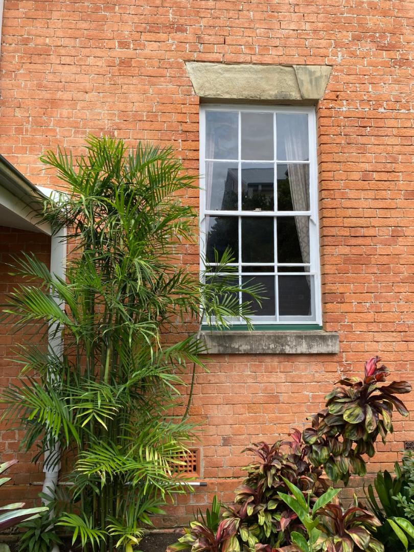
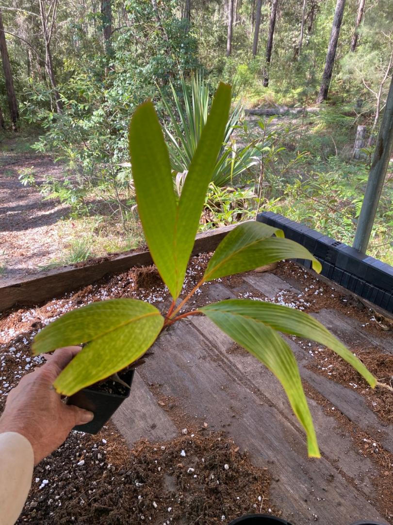
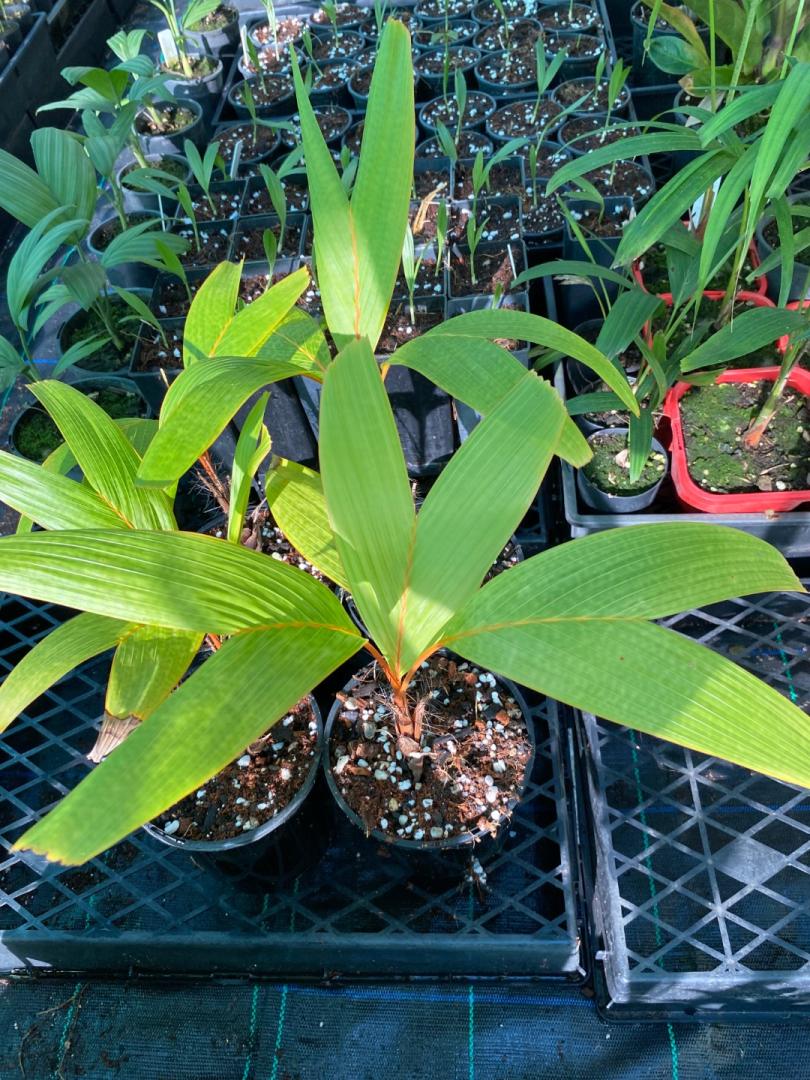
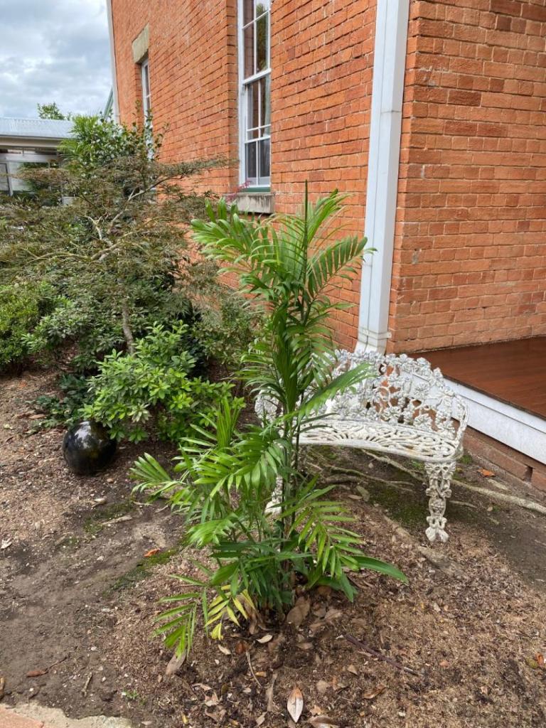
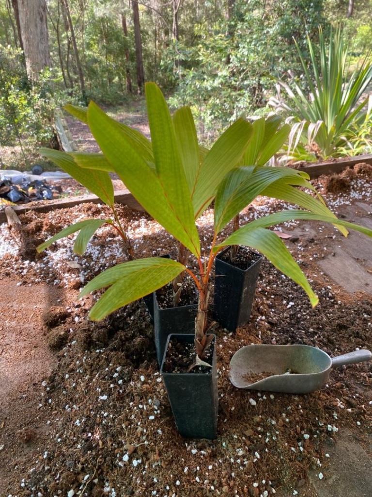
A palm that’s not meant to live in my climate (none in the ground yet) but so far 3 winters in a protected hothouse and surviving well. The only 4 alive out of a batch of 20 seedlings I germinated. Hopefully being germinated in the subtropical climate it has given them the cool tolerance they need to live. Iam not sure if they will ever get planted in the ground but iam sure one will go in the ground sooner or later when it’s in a 200mm container if they live that long but so far it’s looking good time will tell.


 2 points
 -
 Tomorrow morning i’ll update you guys how cold it got here2 points
 -
Currently -5 it hasn’t been this cold in 6 or 7 years😬😳
 2 points
 -
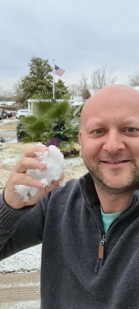
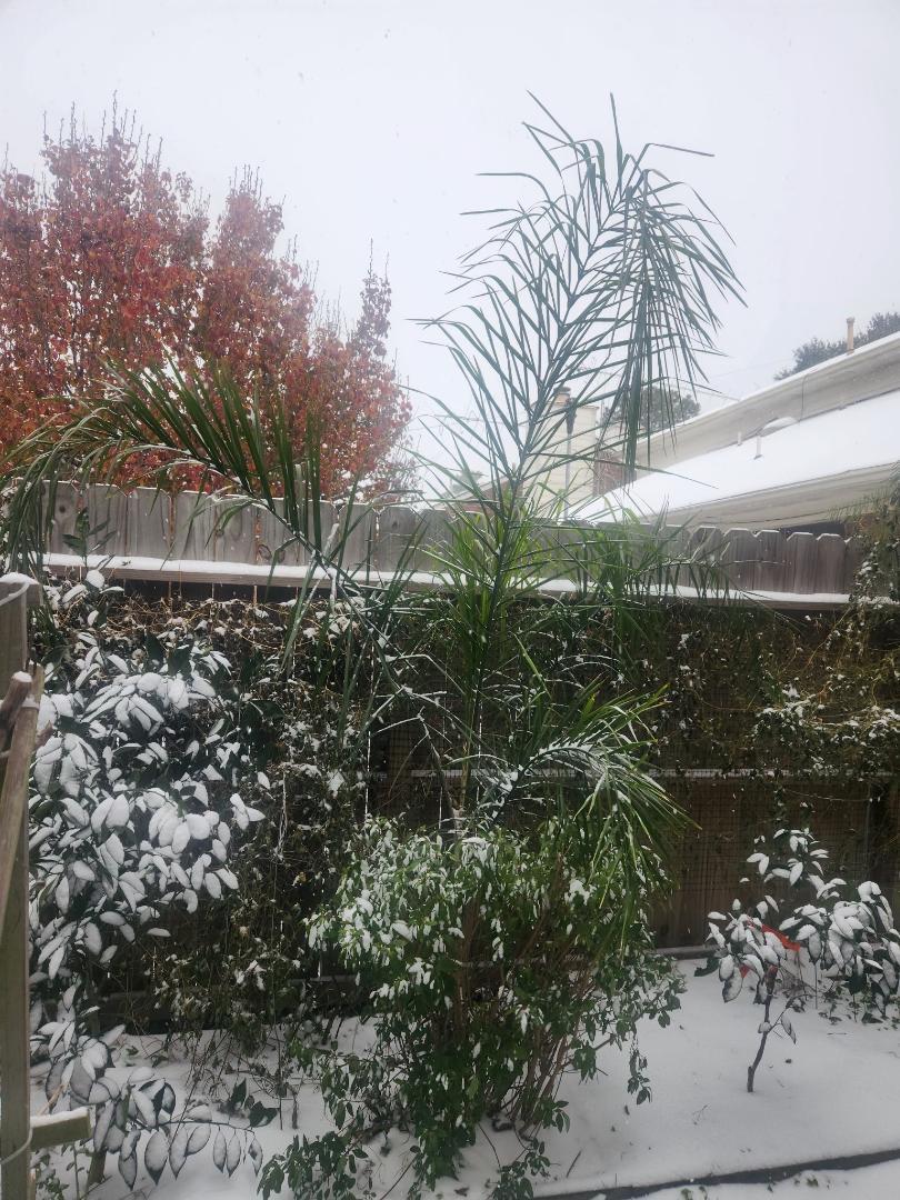
Small light flakes here. No accumulation and no wet patio.2 points
-
2 points
-
 These temperatures flying up and down got me tired, protecting back and forth! 😭2 points
 -
 2 pointsThis is what Mike was selling. Unfortunately looks like it was not a true debaoensis
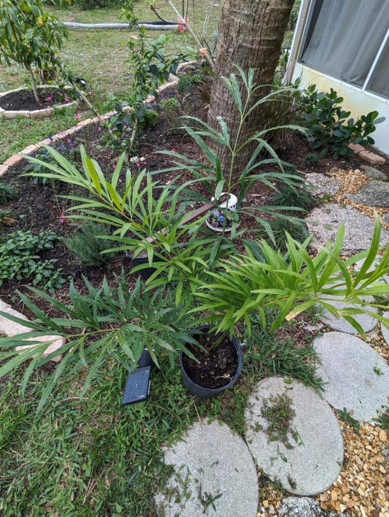 2 points
 -
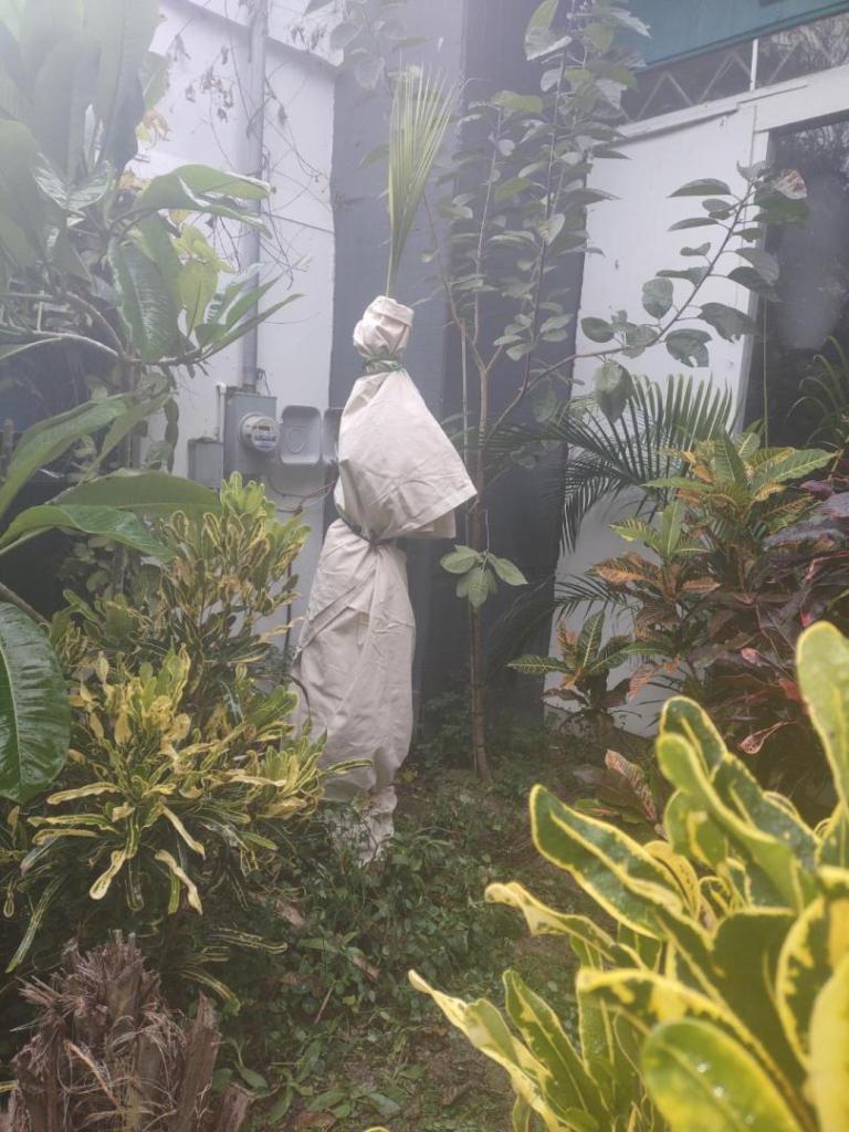
 A few pics of my protection. We are now expected to get to 3F. Also using the 500 watt halogen and the 10' (They are actually 13') pool tarps. So I practice what I preach. Only use that 500 watt light in a open structure. It is in a 10'x10' area with frost cloth around.
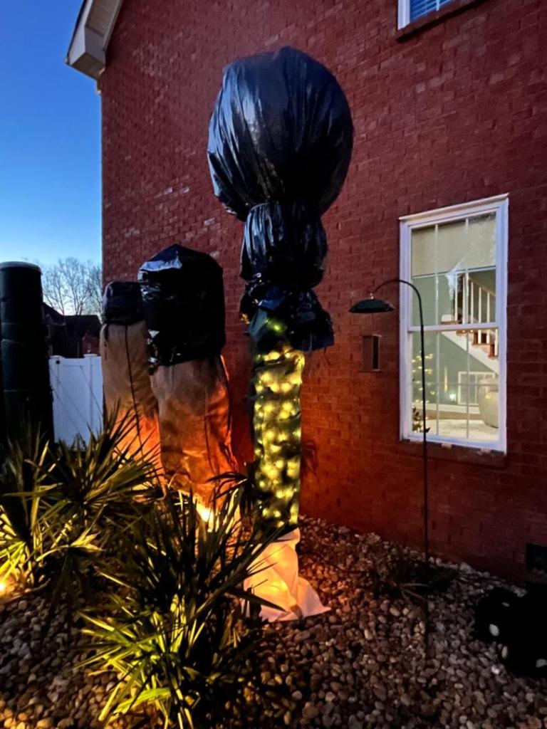

 2 points
 -
There's always some spread between what models show and which forecast a meteorologist will put up at the time. For example: Today the low level clouds started to move north about 6-7 hours ahead of what the high-res rapid refresh CAMs (Convection Allowing Models) were predicting. This indicates that even in the short range period, those models are off a bit. Likely due to small variances in the data that was used to initialize the model run vs the actual conditions. This provides a clue that the models are "off" a bit, maybe only in timing, but likely more than that. Keep in mind that the lowest level of the atmosphere in the western GoM (Gulf of Mexico) is undergoing rapid changes due to dynamics taking place up stream and at higher levels above it. There's a layer of dry air above and the precip is starting from clouds that are a bit elevated. So most of the early radar returns are of virga where the falling precip will have to have some time to moisten and cool the lower levels that it's falling into, this wet-bulbing effect takes a bit of time to occur. This is one of many variable that a meteorologist must contend with besides just taking any model as "gospel". Other uncertainties have are around the thermodynamics within the column of air relate to the layers in which dendritic ice crystals (snow) formation mostly occurs ... that layer is rather dry right now, but moistening up. How fast can it moisten ? Other variables (not involving cloud physics or storm precipitation efficiencies) around snowfall accumulation amounts have to do with complex ground level micro-physics involving temperatures, moisture, sublimation, compaction, melting, etc. In the end every met can go with the model verbatim, or trust their instincts combined with their experiences. So you see large variance between a numerical model or an NWS met or the mets on TV. The models, even this close to the event, are not in agreement with details on where, when and the amount of snowfall. Winter weather precip is always very hard to predict. As an aside, a lot of people have most likely not seen this kind of data, but they have heard of the concept of Ensemble models. Take the GFS model as an example: It has 30+ members that are executed and each one will at arrive at it's own solution (forecast) for a given point of time in the future. This 30+ member run comprises an "Ensemble". Here's a precip forecast for Texas for next Monday (January 27th) .... you can see a huge variance in this single model (GFS) and its 30 members: So from this; for next Monday what's the precip forecast for Austin TX ? Here's what NWS Austin says: No mention of precip or precip type. -Matt

 2 points
 -
Summer heat oh yeah in my area up to 42 degrees Celsius with the summer average around 30 degrees Celsius and up and that’s a mild summer. Try in a dry year it’s hot.2 points


.jpg.8e5e7a34c59d3e1f17e2825b959a5adc.jpg)
.jpg.b9385ce1e8886aec67d24f53798abeed.jpg)
.jpg.c6b92a4757cc93a1623552a7bf893313.jpg)


.jpg.ab2f59455463be73271eb120331a2031.jpg)
.jpg.56e23a9c181a47e53f36e6f77a534a5b.jpg)
.jpg.1cc8312c1a322b596dbe8f21becf2e31.jpg)
.jpg.4651436ebcfe13322302dc092376d4ab.jpg)
.jpg.007605a113d5d14102348b9c91ea2246.jpg)
.jpg.1ff3bbe4fdb64682d25a3ea61475e2a0.jpg)
.jpg.00bd9550e9145f9d1f2ed82f53eac5e4.jpg)


.jpg.13e8e5b1023e9591fd1aa4962aba5ced.jpg)